Ido Livne.
The person behind ISmapping — and the one accountable for every project that carries its name.
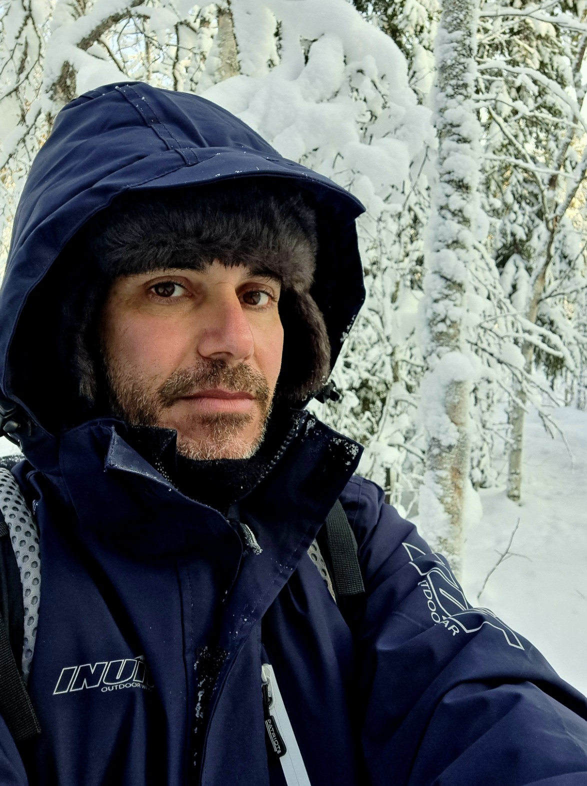
ISmapping was founded in 2013 by Ido Livne, to build a bridge over the gap between academic research and its practical applications. We lead projects that have remote sensing and mapping at their core and carry them from a vague question to a result someone can act on — and, increasingly, to tools the client can keep running on their own.
Over more than a decade we've run these projects for both private companies and public organizations — always hands-on, in some cases delivered end to end by a single lead, in others coordinating scientists, programmers, field crews and other project partners. Our goal is to keep all of that focused on a viable product, while being careful not to wander into a research rabbit hole.
We work across hyperspectral, multispectral, LiDAR and SAR data, from lab spectrometers and drones to aircraft and satellites — the sensor and platform should follow the required output, or vice versa. In recent years most of our work has been in the environmental world: conservation, forestry, wildfires and the health of natural systems over time. We also take on agricultural projects in rural sub-Saharan Africa, consult for medical-equipment startups, analyze indoor hyperspectral data for the food industry, monitor water quality, and more.
Our background spans both remote sensing and ecology and conservation. We've chosen to focus on applied science rather than research for its own sake — working right at the seam where research meets real-world implementation, and handing over tools and know-how the client can use without us.