At ISmapping we do applied science — turning remote-sensing knowledge and data into answers and custom tools for environmental and conservation work, forestry, agriculture, urban and indoor lab analysis. We assemble the right sensors, platforms and specialists for each project, often fusing multispectral, hyperspectral, LiDAR and SAR data with GIS layers — from lab measurements to airborne and satellite imagery — into one coherent, decision-ready picture. And we build it to hand over: tools made for your data and your workflow rather than off-the-shelf software, plus short, practical training, so your team can carry the work in-house from there.
Built for the living landscape.
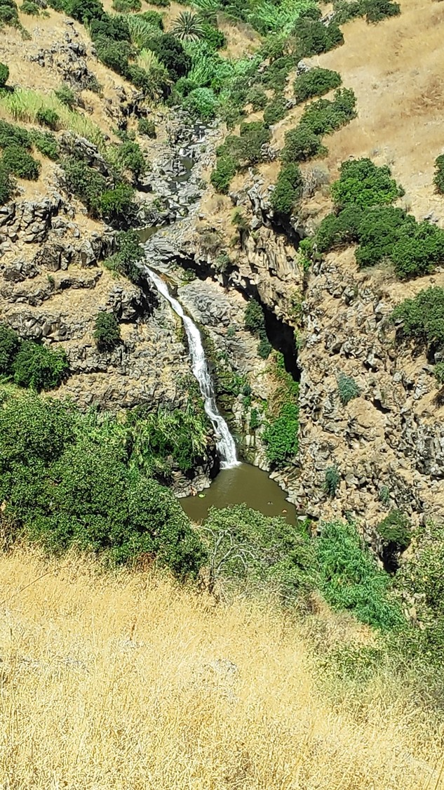
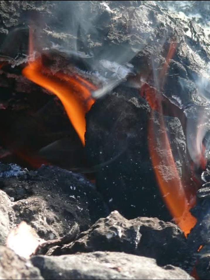
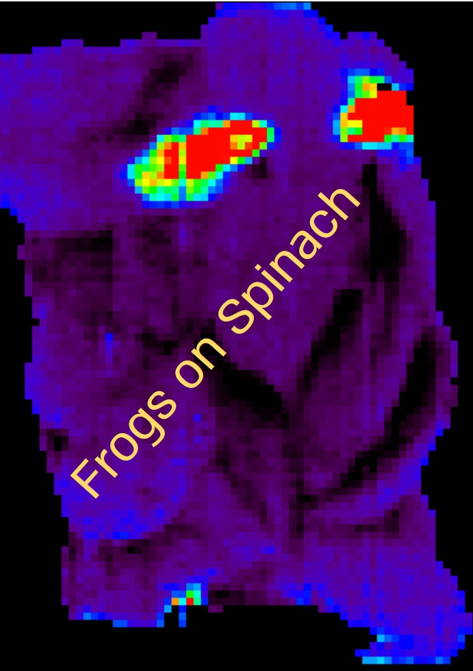
Most of our work and tools sit where remote sensing meets the environment — measuring, mapping and monitoring natural systems over time.

One point of contact.
A network on demand.
- ConstantOne accountable lead. Every project runs through a single point of ownership — from first scope to final delivery.
- On demandWe bring in specialists to fit the work: scientists, project managers, field-operations crews, programmers, GIS analysts and more.
- The resultThe focus of a single expert with the depth of a full team — sized to the project, never to an org chart.
What we take on.
Chosen per project, not bundled — from a first feasibility look to the custom tools and training that let your team run it themselves.
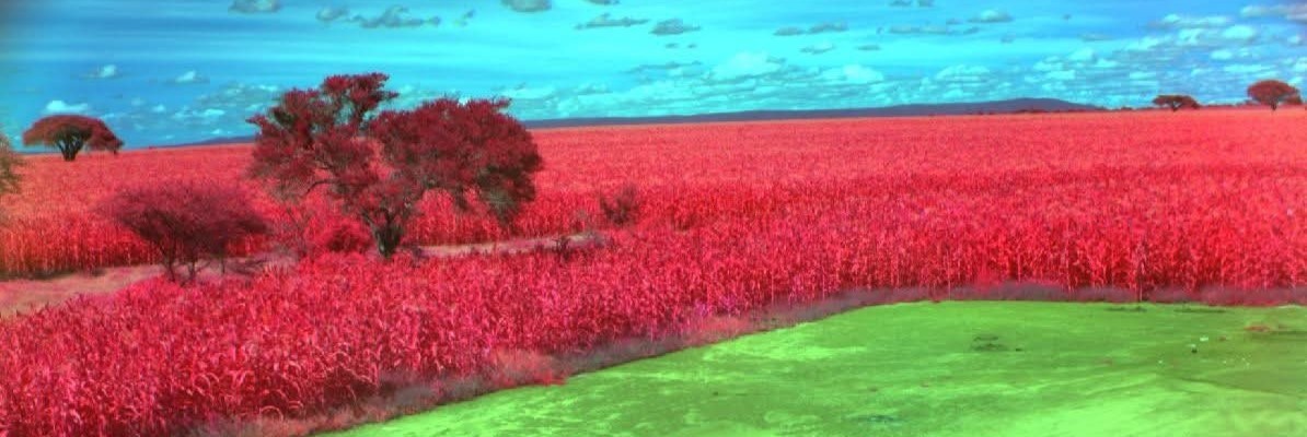
Analysis & delivery
Feasibility studies
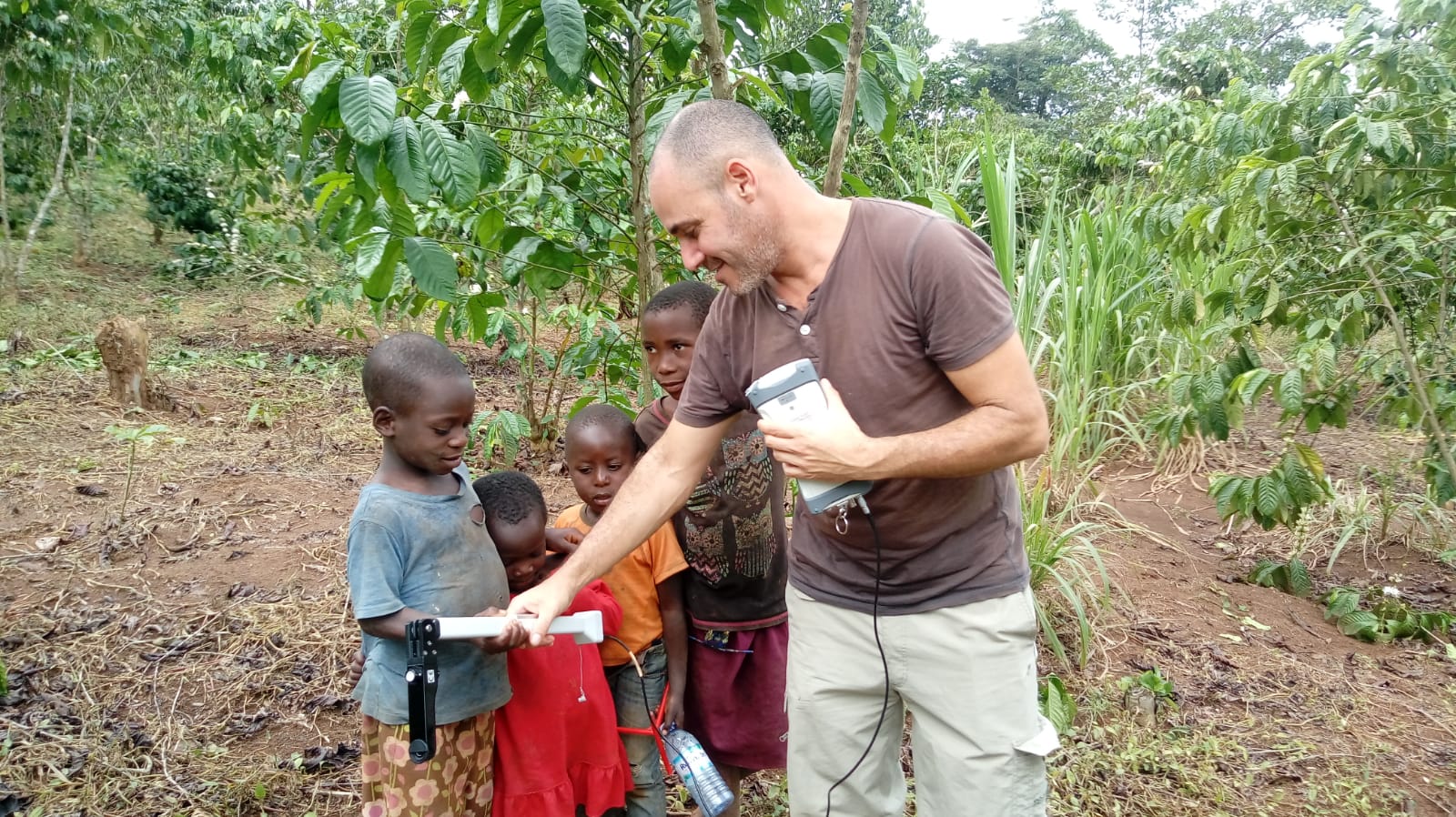
Bridging remote-sensing and spectroscopy hardware with the people who could use it — a fast, concrete way to show an end client what the technology does in their own field.
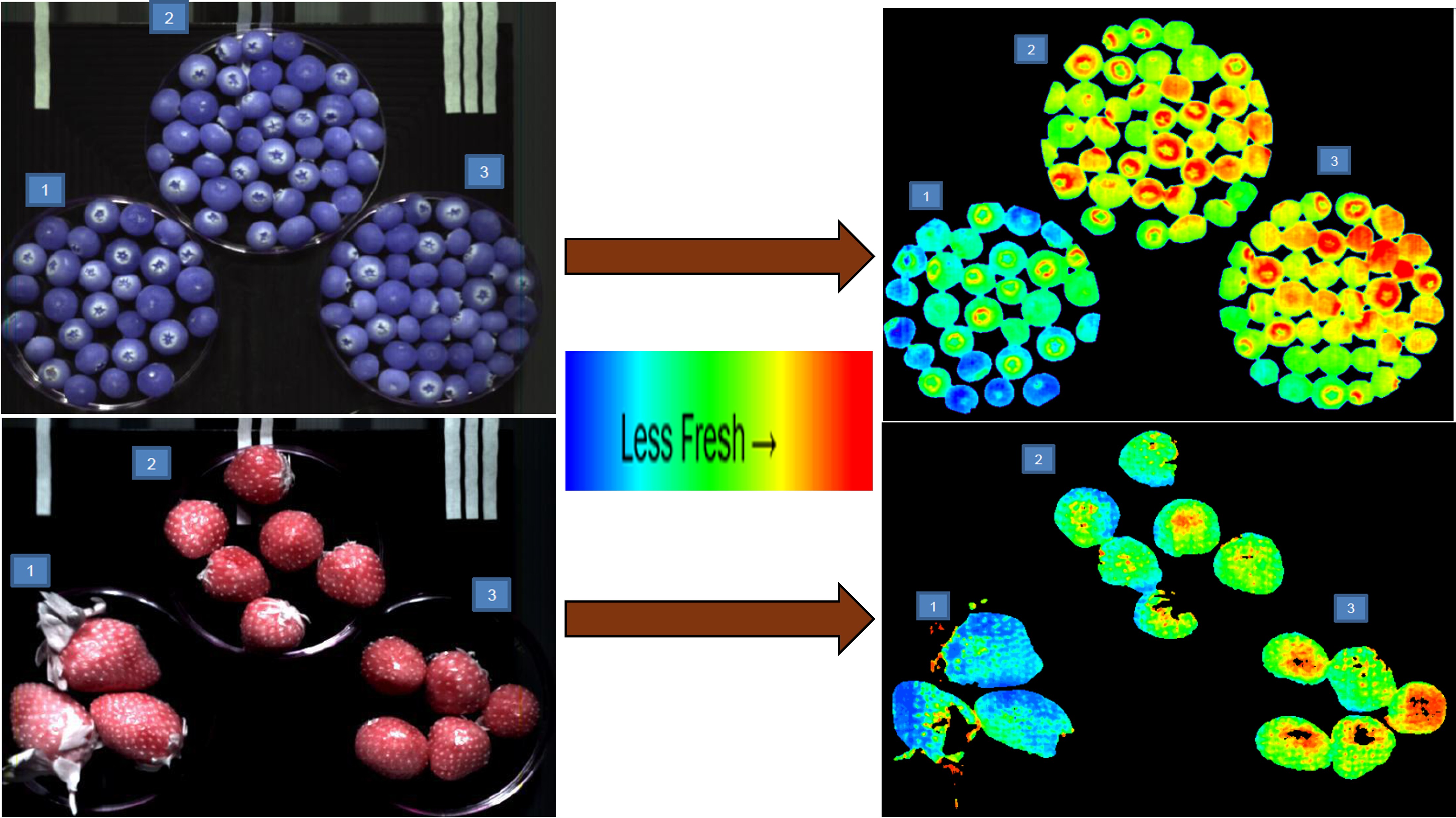
Remote-sensing analysis
Hyperspectral, multispectral, LiDAR and SAR analysis for thematic mapping — turning raw data into classified, decision-ready answers.
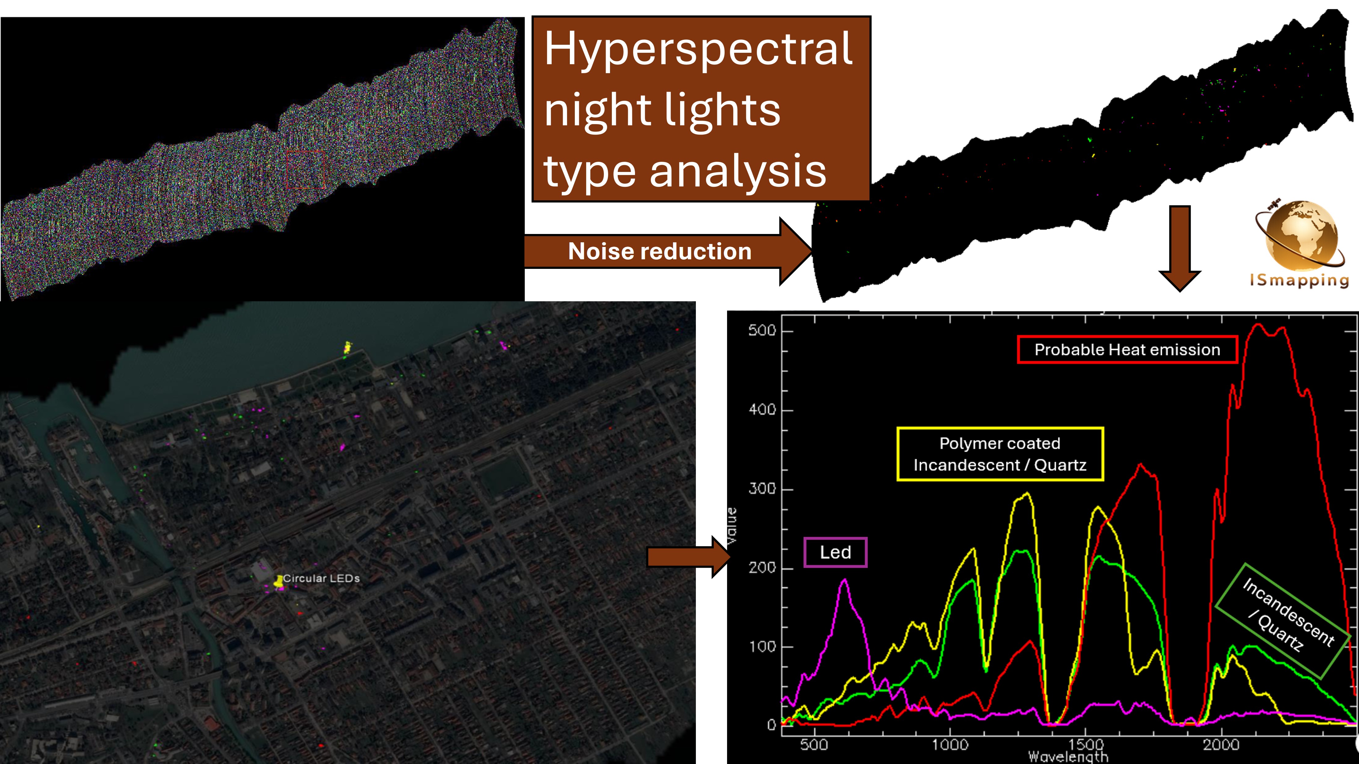
Project management
A decade of running technological projects for private companies and public bodies, holding scientists, engineers and field teams to one focused outcome.
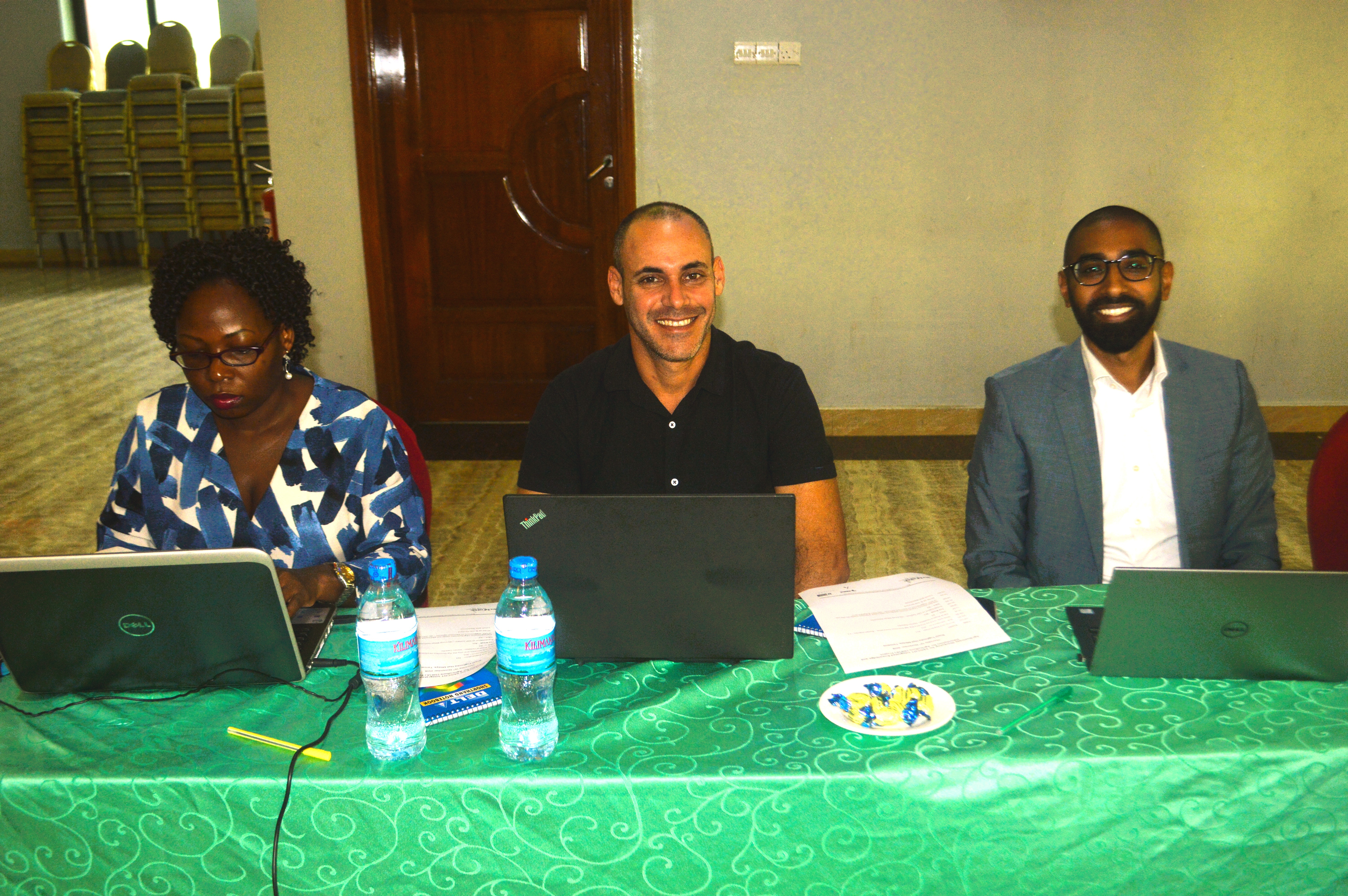
Consultancy
Advising universities, research groups and start-ups working at the edge of remote sensing, spectroscopy and mapping.
Enablement & in-house capability
Client-side training
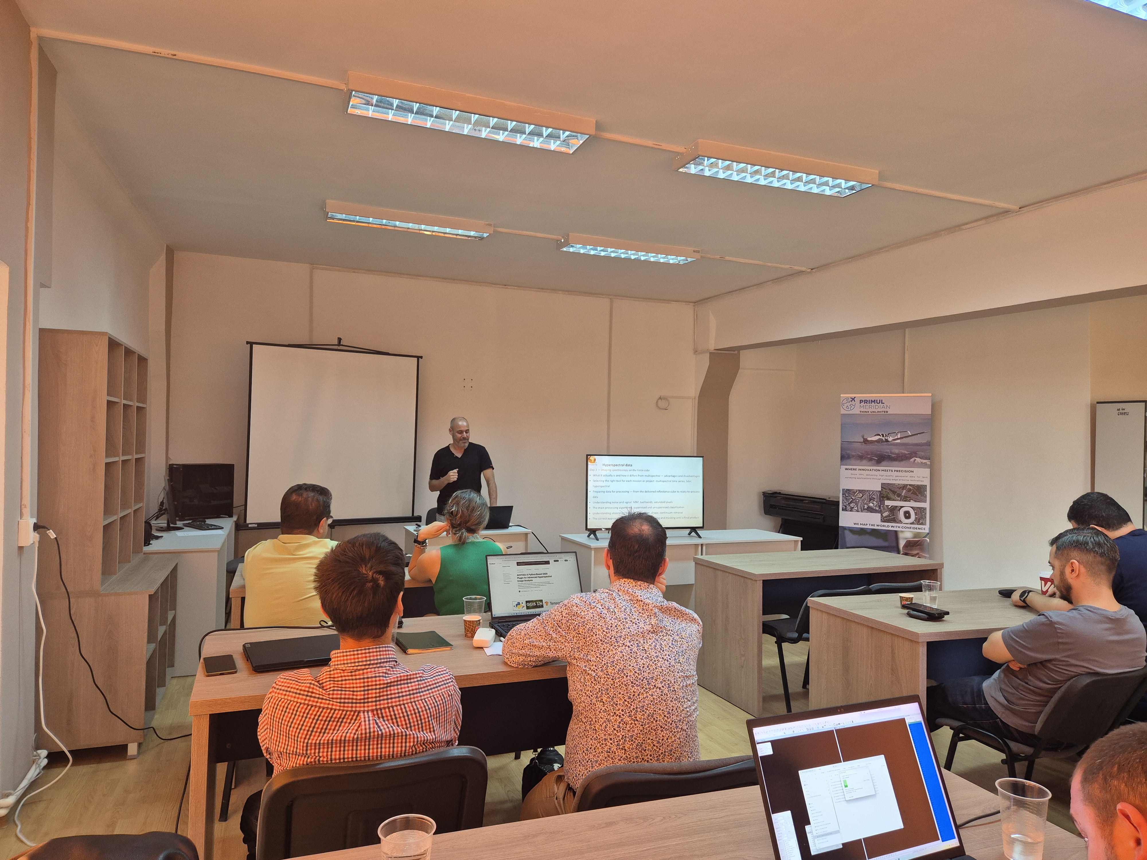
Short, hands-on sessions so your own people can read, run and trust the data after we hand it over — not a long course, just what your team needs to work independently.
Custom tools
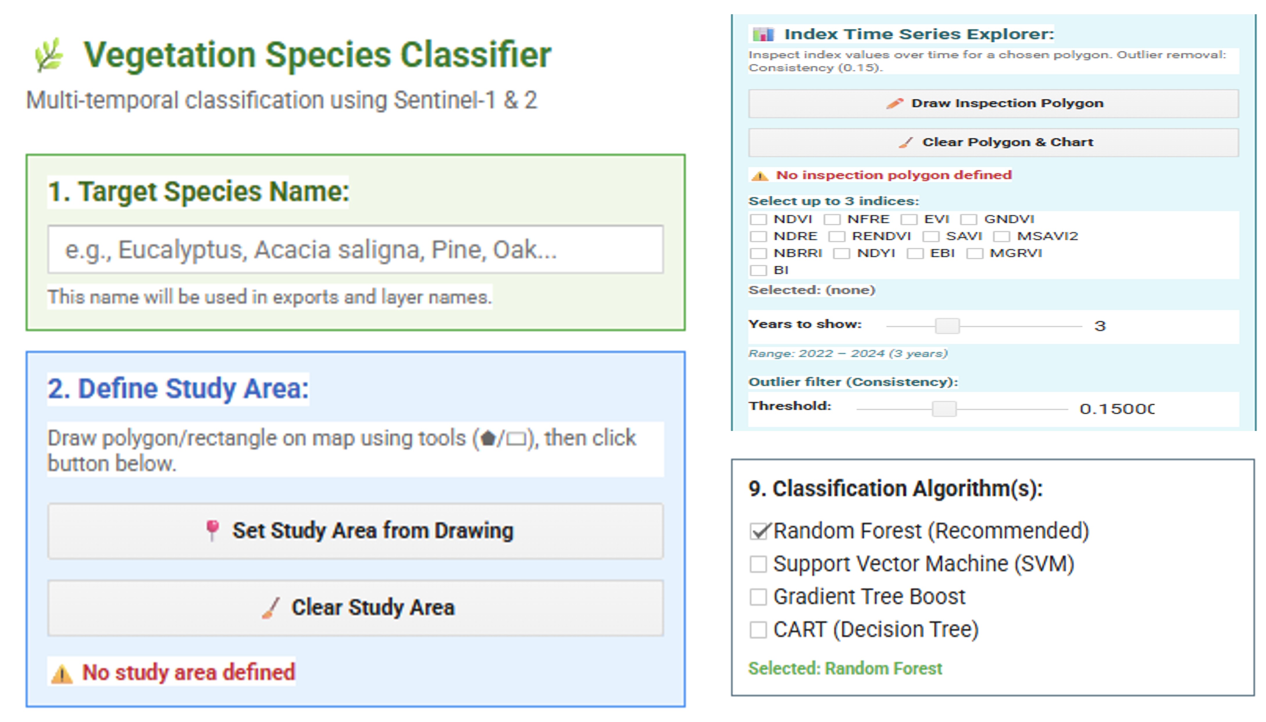
Designated tools and workflows built around your data and your decisions, not a generic platform — and built to be run by your team, not by us.
Technical support
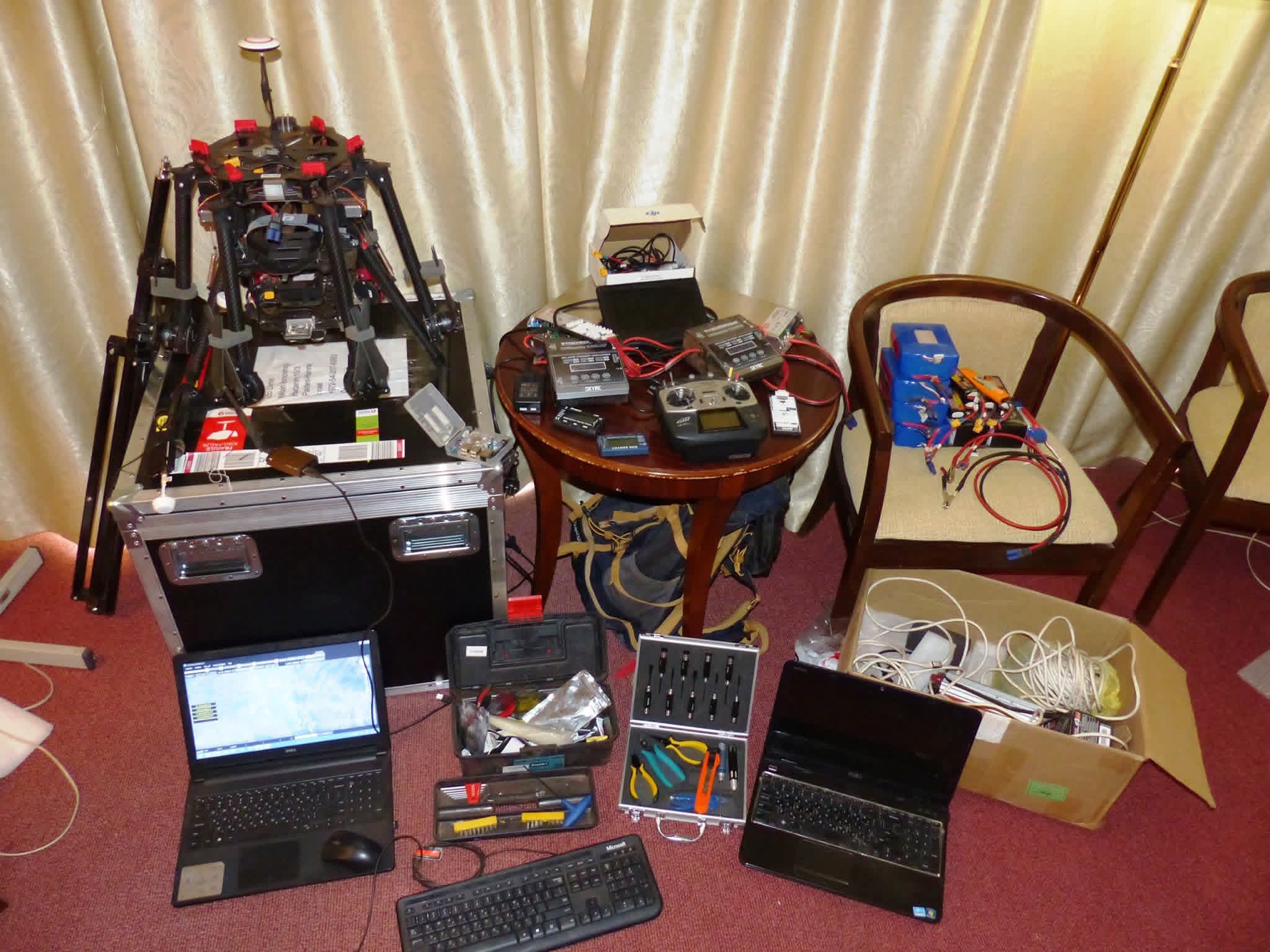
Light-touch technical backup for the methods, tools and monitoring we set up, once the work is running in-house.
Using remote sensing in your studies?
If you're a student working with remote sensing, get in touch — we're happy to give a free consultation, over a video call or by email, to help you think through methods, data and approach.
Let's scope your project.
Tell us what you're trying to find, measure or map — we'll tell you whether remote sensing is the right tool, and what it would take.